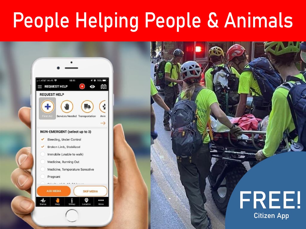
Preliminary damage assessments are the official first step toward securing a Presidential Disaster Declaration. These initial field surveys capture the scope of building damage and urgent life safety hazards. When teams collect this data well, they provide the proof needed to release vital federal relief. Effective disaster recovery depends on the quality of the data captured in those first busy hours. Many team leaders ask how they can turn raw field notes into the structured reports needed by government agencies.
Why Structured Damage Assessment Matters for CERT Teams
Give your CERT team the tools it needs to capture accurate field data for damage assessment for CERT teams. Explore PubSafe’s digital damage reporting form to streamline your workflow today.
When a disaster strikes, local leaders need fast and accurate data to help their communities recover. Structured damage assessment for CERT teams is the first step in this process. By following a clear system, teams ensure that every piece of data they collect serves a larger goal.
Damage assessment for CERT teams involves collecting field data to identify life safety hazards and check building damage using standard tools like CERT Form #1 after disasters. This reporting gives local emergency managers the facts they need to prioritize rescue missions and assign limited resources while moving through affected neighborhoods. An emergency management platform helps teams capture this data efficiently. According to FEMA, these assessments are the main proof used to decide if a town is eligible for federal disaster aid programs that fund long-term recovery.
The path to a Disaster Declaration
For many areas, the main goal of reporting is to get federal help. FEMA defines Preliminary Damage Assessments (PDAs) as the official first step to see if a disaster needs a Presidential Disaster Declaration. This is a joint effort between local, state, and federal partners. Without a structured report, it is hard to show the true scale of the loss. A clear emergency coordination platform helps teams capture this data quickly so the state can review it and ask for aid.
Data for first responders
CERT members often see damage first as they head to their staging area. According to ready.gov, volunteers should use a Damage Assessment Form to note fires, utility risks, and injuries as they travel. This early data helps leaders set a plan for the team. By writing down what they see, volunteers help first responders prioritize where to go first. Structured data stops confusion and ensures no life-safety issue is missed during the rush of a response.
The PDA process flow
Getting aid follows a strict four-step path. First, local groups do an Initial Damage Assessment (IDA). Next, state or tribal leaders review those reports to see if they should ask for more help. If they do, they work with FEMA to conduct a joint PDA. Finally, the state sends a request for a formal declaration. Using a digital field reporting tool makes this flow move much faster. When teams use the same rules for data, there are fewer errors that could slow down the recovery of the community.
The CERT Damage Assessment Workflow: 5 Key Steps
When a disaster hits, your team needs a clear plan to find and share facts about damage. Good notes help city leaders know where to send help. CERT teams use five main steps to gather this data. This path ensures that every fire and injury is tracked from the very start. Every member of a CERT group must share status at all levels to keep the response safe.
Standard forms for clear data
The base of this process is standard forms. CERT teams use eight forms that follow U.S. rules to keep data clear for all groups. These forms work well with the Incident Command System (ICS). As you move through the field, you must write down every detail about damaged buildings or hazards. Using fixed forms prevents missed facts during a busy crisis.
The 5-step response sequence
These steps show how a typical team moves from the field to a final report.
- Observe as you go. Volunteers should start their work as they travel to the staging area. You will use CERT Form #1 to record gas leaks, fires, and structural damage. This early data helps your team lead set the first plans for action.
- Sync at the staging area. Once you arrive, give your forms to the team leader. They will use this data to rank tasks by need. This quick hand-off ensures that the most dangerous spots get help first.
- Track the big picture. The Command Post uses field reports to track the state of the whole event. This includes mapping safe routes and support spots. According to ready.gov, the post must keep a record of all found hazards and gear status.
- Take photos and notes. Correct records are vital for getting aid. You should take photos of all damage to give proof to local leaders. As the CERT training manual says, “The most important thing to do is to write down what happened.”
- Send data to local leaders. The last step is to send your data to local disaster managers. This helps the city see if they need more help from the state. Using CERT damage assessment software can make this step much faster and more accurate.
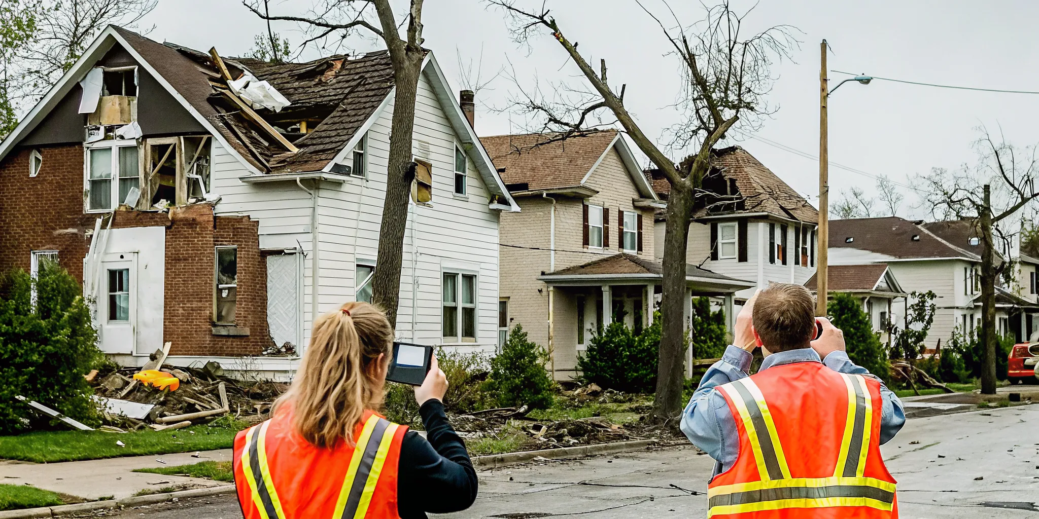
What Data Should CERT Teams Document After a Disaster?
The most important rule for any volunteer is to write down what they see during an event. As the FEMA CERT manual states, the most vital task is to document what happened. This data helps local leaders understand the scope of the crisis. Without clear notes, vital details can be lost when teams hand off work to professional responders.
Get field data to your command post faster. See how PubSafe helps teams coordinate a more effective response with real-time damage reporting.
The six core hazard categories
Standard CERT forms track six main areas of concern. These include fires, utility hazards, and structural damage. Teams also look for injuries or deaths to find where medical help is needed most. They must check road access for rescue vehicles. Lastly, teams note any animals that need care or pose a risk to people. These facts form the base of any post-disaster assessment for volunteer teams.
Use photos and GPS for accuracy
Photos provide clear proof of damage that words alone might miss. FEMA recommends keeping precise records of where you take each photo. You should use GPS tags or include location forms in the frame itself. This step makes it easy for federal agencies to verify reports later. Clear images with exact locations speed up the process of getting disaster aid to the community.
Why location details matter
A report is only useful if others can find the exact spot of the problem. You must record street names, house numbers, or cross streets for every hazard. If road signs are down, use landmarks or GPS data to guide others. Accurate location data helps dispatchers send the right resources to the right place. This level of detail saves time and keeps team members safe in the field.
What Are the Advantages of Digital Damage Assessment Over Paper?
For many years, teams relied on paper “street sheets” to log damage after a storm. While paper works when the power is out, it often slows down the help people need. Digital tools like the PubSafe damage assessment platform now help teams move faster. These apps allow volunteers to send facts to a central hub in near real-time.
Is your team ready to modernize? See our damage assessment tools in action and learn how digital reporting speeds recovery.
The speed of digital data
Speed is the biggest advantage when you switch from paper to digital forms. When a team uses paper, a leader must wait for the field team to return to the post before entering data into a computer. With digital assessment software, the data moves as soon as the volunteer hits “send.” This saves hours or even days when every minute counts.
FEMA says that rapid field reports are the first step to getting a disaster declaration. Moving this data quickly helps local leaders ask for state or federal aid sooner. Digital surveys allow for a near real-time view of the field. This helps chiefs prioritize where to send limited resources first.
GPS and photo proof
Digital tools also offer more evidence than a simple written note. A paper form might say “large hole in roof,” but a photo shows the full scale of the damage. FEMA training emphasizes that writing it down is vital, but photos make the record much stronger. Digital apps automatically tag each photo with GPS coordinates to show exactly where the damage is.
This level of detail helps prevent mistakes and double-counting. It also makes it easier for teams to share data with other groups. For example, PubSafe PDAs can be exported to the Red Cross Disaster HUB or government systems. This shared data helps all groups work together to help the community recover.
| Feature | Paper Forms | Digital Tools |
|---|---|---|
| Report Speed | Slow; needs physical hand-off | Near real-time via mobile app |
| Location Data | Street addresses or landmarks | Exact GPS coordinates |
| Visual Proof | None or separate camera | In-app photos and videos |
| Data Sharing | Manual entry into systems | Instant export to FEMA or NGOs |
| Reliability | Works without power or cell | Store-and-forward for offline use |
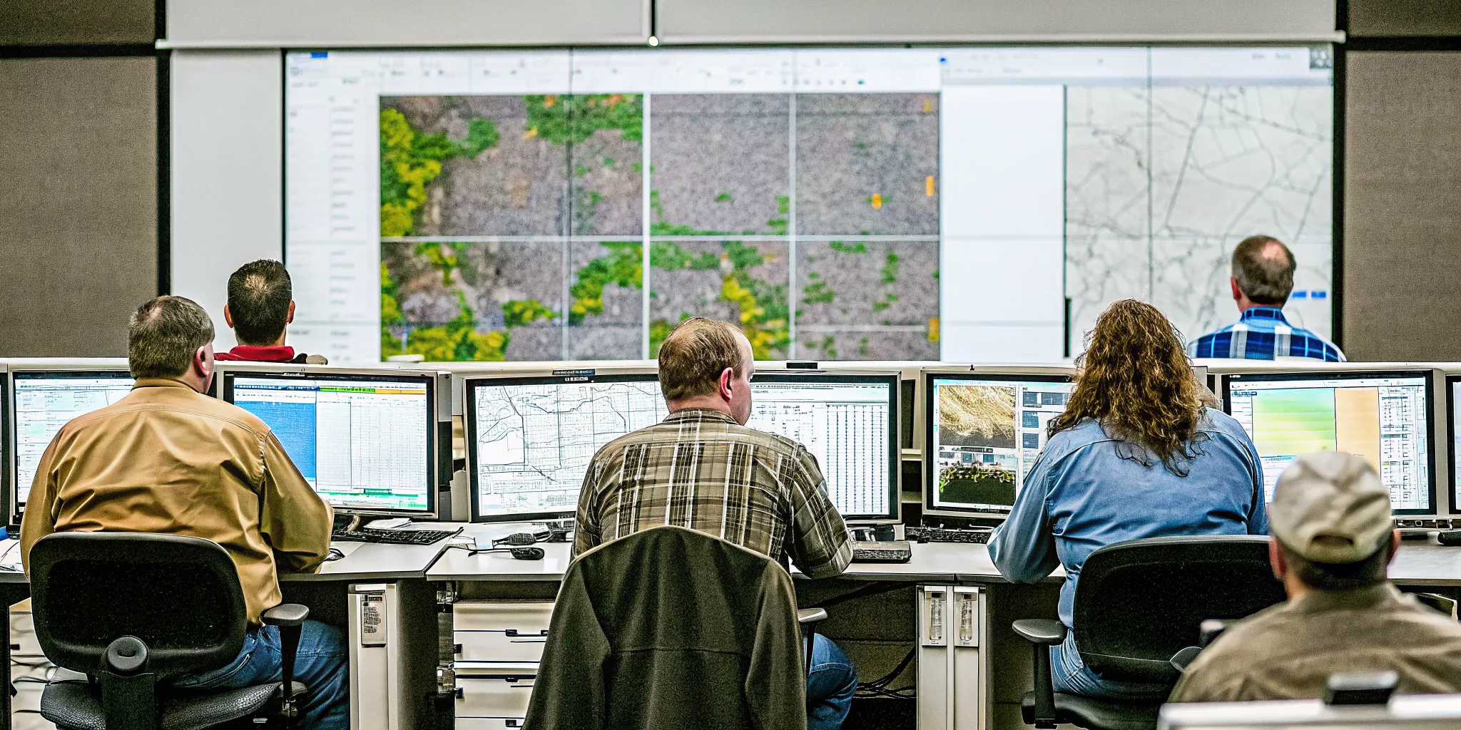
How PubSafe Helps CERT Teams Streamline Damage Reporting
Managing damage assessment for CERT teams often feels like a race against time. Paper forms can get lost or damaged in the field, and manually entering data takes hours. PubSafe fixes this by giving teams a digital tool to capture facts fast and share them with those who need them, including government communication systems.
Real-time field data capture
PubSafe offers a mobile-friendly damage assessment form that works on any smartphone. Volunteers can record the type of damage, its severity, and the exact location as they find it. This tool replaces paper street sheets with clean data that reduces mistakes and missed facts.
The app uses the phone’s GPS to tag every report with precise coordinates. Based on FEMA guidelines, keeping good location records is vital for damage assessment. By automating this step, PubSafe ensures every photo and report is tied to a specific location.
PubSafe makes it easy to capture field data and share reports fast with your command post.
Centralized data for team leaders
As field teams send reports, the data flows directly to a web portal. Team leaders can see the disaster status as it unfolds. This view helps leaders plan CERT mission scenarios and decide where to send help first. This flow of information is much faster than waiting for paper forms to reach a staging area.
The system tracks incident locations, access routes, and hazards in one central hub. This supports the guidance from the CERT Basic Training Manual, which says the most vital task is to write down what happened. Having these facts in a digital hub makes it easier to track the entire response.
Easy data export and sharing
Collecting data is only half the job. CERT teams must also share what they find with other organizations. PubSafe lets teams export their data to other systems, including the Red Cross Disaster HUB or local and state government agencies. These exports help higher levels of government decide if a disaster needs federal aid.
By providing clean, structured data, PubSafe helps ensure your team’s hard work leads to real help for the community. The platform acts as a bridge between the field and the official agencies that manage recovery. This keeps everyone on the same page and accelerates the path to assistance.
Ready to improve your team’s damage reporting workflow? Request a demo of PubSafe’s damage assessment platform and see how digital field data accelerates disaster recovery.
Frequently Asked Questions
Are CERT teams part of FEMA?
CERT teams are not a direct part of FEMA. They are local volunteer groups trained under the FEMA CERT program. These teams work for local emergency agencies and help their own neighborhoods during and after a major disaster. According to Ready.gov, these groups provide key data to help city and state leaders set plans for the local response.
What equipment do CERT teams need for damage assessment?
Teams need a few key tools to collect good data. This includes the standard CERT Damage Assessment Form, a camera or phone, and a GPS tool for location tags. You also need personal safety gear like gloves and a hard hat. Using a digital data collection tool on a phone can make this job much faster and more accurate for everyone.
How do CERT teams share damage data with the Red Cross?
Data from the field must reach those who need it most. Many teams use tools that allow them to export reports. For example, data can be sent to the Red Cross Disaster HUB or other state systems. According to PubSafe, this lets nonprofit organizations see what is happening in real time. This fast data sharing helps get help to the right areas quickly.
Can citizens submit damage reports directly to CERT teams?
Yes, citizens can help by sending reports using mobile apps. Tools like PubSafe allow people to take photos and share their location with local teams. This helps volunteers see hazards before they even arrive on the scene. It also gives emergency managers a wider view of the damage. This process builds a stronger and faster response for the entire community.
Ready to improve your team’s damage assessment and reporting workflow?
Using outdated paper forms can stall your recovery and put the aid your community needs at risk when every minute counts after a disaster. Start now so your team has time to learn tools that make field reports fast and accurate for insurance claims and government aid programs. Setting up a clear process today ensures your data flows smoothly to relief agencies and keeps your volunteers safe during a real emergency.
Contact PubSafe today to schedule a demo of our damage assessment tools and help your community recover faster.