Hurricane season does not wait for teams to catch up. For public works, utilities, transportation departments, emergency managers, telecom providers, school districts, and first responders, the hard part is not simply knowing a storm is coming. The hard part is understanding what the storm will do to people, facilities, roads, crews, and critical infrastructure while there is still time to act.
Thank you for reading this post, don't forget to install the free PubSafe mobile app and subscribe!
That is exactly what PubSafe and Esri will cover in the May 6 webinar, Before the Storm Hits: Real-Time Hurricane and Flooding Intelligence for Operational Decision-Making.
Register for the webinar here.
This session is designed for teams that need to move from weather awareness to operational decisions. Instead of watching hurricane tracks in one system and asset data in another, attendees will see how real-time hurricane and flood intelligence can be layered directly into ArcGIS workflows to help identify risk sooner, prioritize response, and protect communities before conditions deteriorate.
Key Takeaways
- Learn how to overlay real-time storm and flood intelligence with asset, facility, and personnel data in ArcGIS.
- See how agencies can identify at-risk people, infrastructure, and operational dependencies earlier.
- Review lessons from Hurricane Helene and the Texas Fourth of July floods.
- Explore how ArcGIS Velocity, Watch Center, and EM Ops support monitoring and alerting.
- Understand how faster situational awareness improves operational decision-making before and during severe weather events.
Why Pre-Storm Visibility Matters
When a hurricane or flash flood threat is developing, delays compound quickly. A late road closure can trap crews in unsafe areas. A missed flood indicator can leave equipment exposed. A disconnected operations picture can slow decisions across public works, transportation, utilities, emergency management, and mutual aid partners.
That is why real-time intelligence matters. Teams do not just need a forecast. They need a shared operational picture that connects the hazard to the assets and people it could affect. They need to know which facilities are in the path of projected flooding, which routes may become impassable, which field teams are operating in higher-risk zones, and where to focus alerts before conditions worsen.
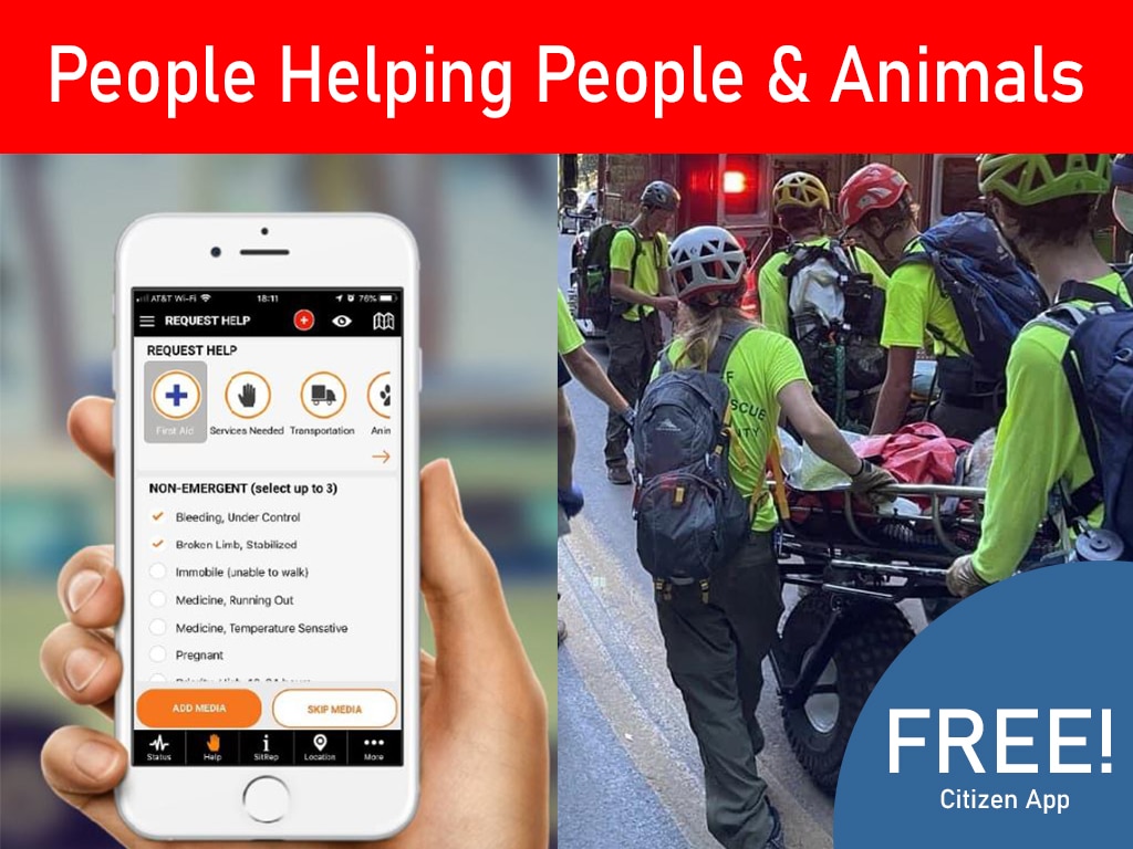
PubSafe already helps agencies build a more connected response environment through its disaster response platform, public map, and clear workflows for how PubSafe works. This webinar shows how those coordination workflows become even more powerful when they are paired with real-time hurricane and flooding intelligence inside ArcGIS.
What Attendees Will Learn in the Webinar
This webinar is built around practical operational use cases, not abstract theory. Attendees will walk through how real-time data can support faster, clearer decisions before and during major weather events.
1. Overlay storms and flooding with asset data in ArcGIS
Attendees will see how to bring live hurricane and flood intelligence into ArcGIS and compare it directly against the assets that matter most. That includes facilities, vehicles, field teams, public infrastructure, utility networks, and other mission-critical resources.
This matters because hazard data by itself is incomplete. A storm polygon becomes operationally useful when it is connected to the things your organization is responsible for protecting. The webinar will show how that operational context helps teams identify what is exposed, what is at risk next, and where resources may need to move.
2. Identify at-risk people, facilities, and infrastructure earlier
Good incident management starts before the incident fully unfolds. With the right ArcGIS workflows, agencies can see where water, wind, and changing conditions are creating new exposure and act earlier to reduce downstream disruption.
That means identifying people who may need support, facilities that may need to harden or close, infrastructure corridors that may become inaccessible, and operational blind spots that could slow decision-making. The earlier those risk layers are visible, the better leaders can prioritize staffing, staging, communications, and response posture.
3. Learn from Hurricane Helene and the Texas Fourth of July floods
The webinar will also ground the discussion in real storm experience. PubSafe and Esri will review examples from Hurricane Helene and the Texas Fourth of July floods to show how changing conditions create operational pressure in the field.
These events are useful case studies because they show how quickly the gap between weather awareness and operational action can become a liability. It is one thing to know a storm system is intensifying. It is another to understand what that means for neighborhoods, facilities, evacuation routes, mutual aid coordination, and field deployment in real time.
4. Use ArcGIS Velocity, Watch Center, and EM Ops for monitoring and alerts
The webinar will highlight how ArcGIS Velocity, Watch Center, and EM Ops can support a more actionable monitoring and alerting workflow. Instead of relying on fragmented dashboards or manual check-ins, teams can use these tools to monitor changing conditions, trigger alerts, and keep the right people informed as risk evolves.
For operations leaders, that means fewer gaps between detection and action. For field teams, it means more consistent situational awareness. For cross-functional agencies, it means a better chance of keeping everyone aligned when the situation is moving fast.
Why This Matters for Public Sector and Critical Infrastructure Teams
This session is especially relevant for organizations that cannot afford slow, fragmented decisions when severe weather threatens operations. That includes:
- public works
- parks and recreation
- transportation
- utilities and water works
- state and local government
- telecom
- school districts
- ems, fire, and police
- emergency management teams
Each of these groups manages some combination of people, facilities, routes, assets, and public communication. When hurricanes and flood events intensify, they all depend on timely, shared intelligence. A better operational picture helps them move from reactive updates to proactive coordination.
A Practical PubSafe + Esri Conversation
One reason this webinar stands out is that it is not just about hazard feeds or mapping features in isolation. It is about how agencies actually make decisions. PubSafe brings the coordination layer. Esri brings the ArcGIS environment many teams already rely on. Together, that creates a more practical conversation about preparedness, visibility, and response.
If your organization already uses ArcGIS, this webinar will help you think more concretely about how weather and flooding intelligence can strengthen the workflows you already have. If your team is trying to improve readiness before hurricane season accelerates, this is a timely chance to see how better data integration can translate into better action.
Register for the May 6 Webinar
As hurricane season approaches, the cost of waiting gets higher. The agencies and operators that perform best in fast-moving events are usually not the ones with the most data. They are the ones that can turn data into decisions quickly.
If your team needs better visibility into storm risk, flooding exposure, and operational impacts, this webinar is worth your time.
Register here: https://events.teams.microsoft.com/event/f63d77c2-3aec-49d2-9e72-9ffb0f87e749@9619e31f-d5c5-4bcb-81b3-a98ef6f36610
PubSafe and Esri will show how to connect real-time hurricane and flooding intelligence with ArcGIS-based operational workflows so your team can see risk sooner, coordinate faster, and make better decisions before the storm hits.