ATAK vs CivTAK is a practical comparison for CERT leaders, volunteer coordinators, search-and-rescue teams, NGOs, and local-government emergency managers choosing field technology. The names refer to related tools in the Team Awareness Kit ecosystem, but access models, intended audiences, configurations, and deployment responsibilities can differ.
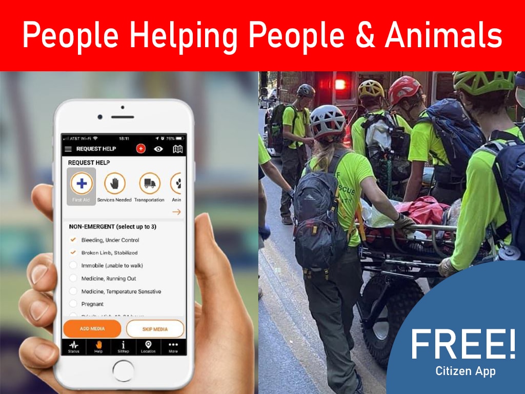
Thank you for reading this post, don't forget to install the free PubSafe mobile app and subscribe!
Both tools can help authorized teams build geospatial awareness, share locations, and coordinate field information. Neither one automatically solves member management, volunteer readiness, citizen communication, or incident follow-through. Those needs belong in the wider response workflow.
What Does ATAK vs CivTAK Mean for Civilian Teams?
TAK is a family of geospatial situational-awareness and information-sharing tools. ATAK means Android Team Awareness Kit, so it identifies the Android application within that family. In everyday conversation, people may also use ATAK as shorthand for a particular deployment or for the broader ecosystem of Android-compatible TAK tools.
CivTAK, or ATAK-CIV, refers to the civilian-oriented version or distribution. It is intended for civilian organizations and emergency-management users that need mapping, collaboration, and field-awareness functions without assuming a military-only operating environment. The exact release, permissions, plugins, data sources, and support model still depend on the deployment.
This distinction matters because the same word can describe both a technology family and a specific application. When a partner says ATAK, ask which build, server, plugin set, and user permissions are intended. When a team says CivTAK, confirm the official distribution and version it plans to use. The TAK.gov product directory is a useful starting point because it separates ATAK-CIV, ATAK-GOV, ATAK-MIL, and related plugins.
For CERTs and volunteer groups, the practical decision is not which name sounds more capable. The better question is whether the selected configuration matches the mission, devices, training, data-sharing rules, and field-to-EOC workflow. Tactical mapping can be valuable, but it must fit a repeatable operating process.
How Does the ATAK vs CivTAK Distinction Affect Capabilities?
CivTAK materials describe online and offline mapping, shared points and drawings, KML, KMZ, and GPX overlays. They also describe location sharing, chat, file and media exchange, navigation, elevation tools, geofences, emergency beacons, and an SDK. These functions can help a field team maintain a shared geospatial view as conditions change.
| Capability | CivTAK or ATAK-CIV | Other ATAK variants and plugins |
|---|---|---|
| Mapping and overlays | Online and offline maps, shared points and drawings, and common overlay formats. | Capabilities vary by product, mission, data source, and installed plugin. |
| Position sharing | Location sharing, chat, and file or media exchange can support a common field picture. | Networks, permissions, and configuration determine what authorized users can share. |
| Navigation tools | Navigation, elevation tools, geofences, and emergency beacons are described in civilian-facing materials. | Specialized tools may be added through plugins or mission-specific configurations. |
| Extensions | An SDK and plugin ecosystem can support civilian workflows. | Product-specific governance and support requirements apply to each extension. |
The CivTAK overview provides civilian-facing context about the capability set. Teams should not assume that every listed function works identically across devices or deployments. Offline maps do not mean that every message, live feed, or update will work without a communication path. A plugin can add value while also increasing testing, support, permission, and change-control requirements.
Separate technical capability from operational readiness. Before an exercise, test the devices, batteries, map packages, account setup, update process, connectivity assumptions, and backup reporting method. A shared map is most useful when every participant understands what markers mean, who reviews them, and how an observation becomes an actionable report.
Is CivTAK a Good Fit for CERT and Volunteer Teams?
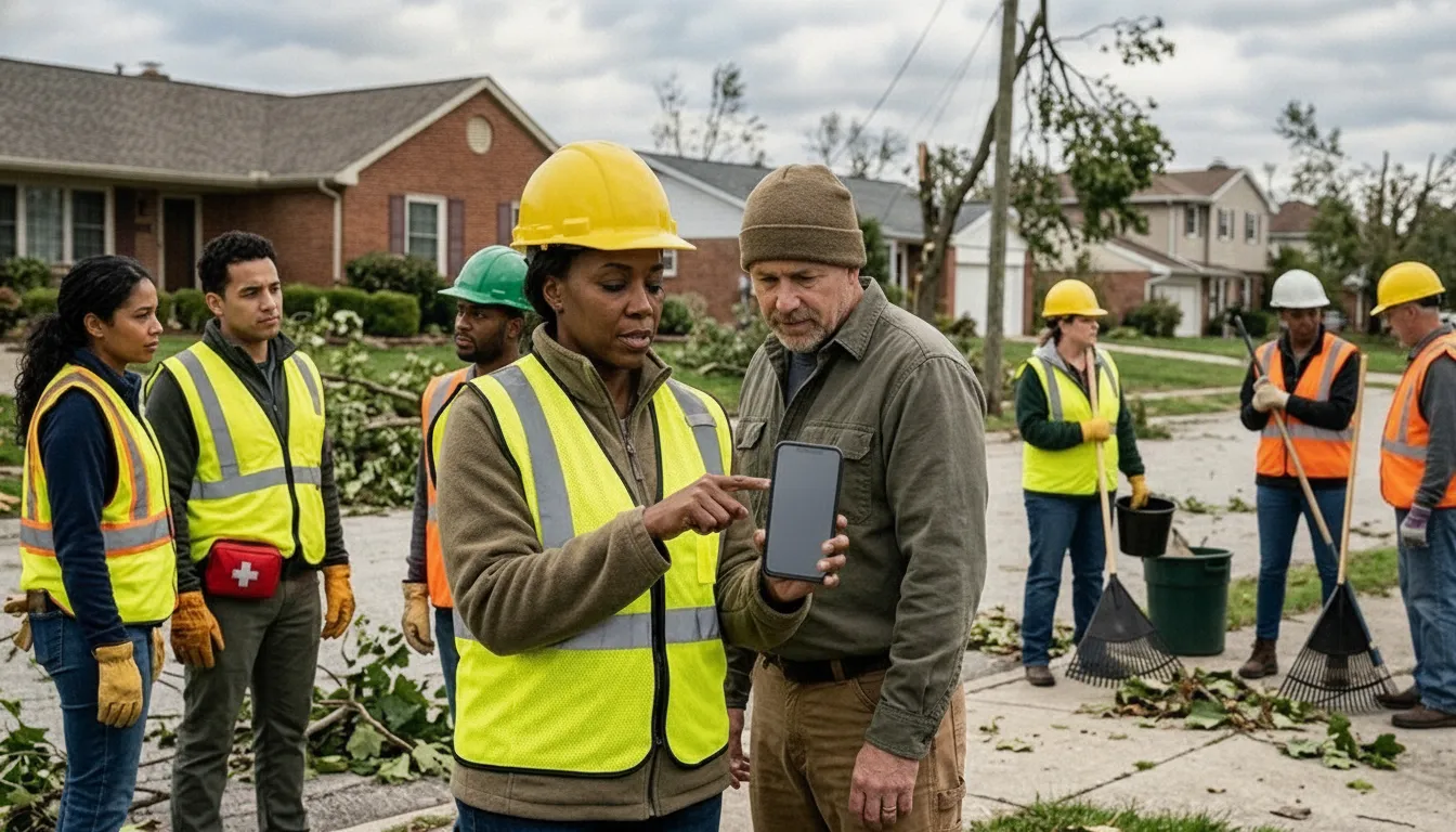
Volunteer teams often include people with different devices, experience levels, and responsibilities. A tool that supports mapping, shared locations, overlays, chat, and offline preparation can help, but only when the team agrees on a small set of repeatable actions. Members should know how to check an assignment, share an approved observation, follow the correct map layer, and escalate a problem.
Start with readiness, not features
Use routine exercises to test battery life, connectivity assumptions, account setup, device updates, and map preparation. Keep initial training focused on the actions members must perform under stress. Advanced features and plugins may suit a specialized group, but they can create additional support demands for a volunteer organization with limited IT capacity.
Governance is equally important. Team leaders should define who can create or edit shared information, which overlays are approved, how sensitive observations are handled, and who maintains the system. Clear roles prevent every volunteer from becoming an informal administrator. They also distinguish tactical mapping from organizational coordination. CivTAK may help a field team understand locations, while a CERT still needs processes for member status, assignments, availability, and incident records.
Plan the handoff to the EOC
Before deployment, establish how observations, photos, requests, and status updates move from volunteers to the emergency operations center. Decide which information requires verification, who converts field observations into formal reports, and how the EOC communicates priorities back to teams.
PubSafe can complement tactical and geospatial tools by supporting member management, volunteer coordination, incident reporting, and communication with responders and communities. Teams reviewing mobile coordination apps for response teams should assess how each system contributes to the whole workflow, rather than treating the decision as a simple software contest.
How Can ATAK and CivTAK Support Search and Rescue?
Before deployment, coordinators can use maps and overlays to identify search areas, access routes, hazards, staging locations, and boundaries. In the field, participants can place markers for clues, hazards, resources, or completed search areas. Shared points, drawings, and routes reduce ambiguity when a team describes a location under pressure.
Photos, videos, files, and chat can add context to a marker or report. A responder might attach a field image to a location, share an updated route, or pass an observation to an authorized operations group. Navigation and elevation tools may help teams plan movement through difficult terrain. Offline mapping can be useful when internet access is limited, but teams should prepare maps and test the complete workflow before an incident.
Teams should agree on marker conventions, naming, update intervals, privacy rules, device standards, and review responsibility. They should also establish a backup method for dead batteries, incompatible devices, poor coverage, software changes, or incomplete training. A map can display information, but it does not replace judgment or a clear handoff to an emergency operations center.
For a broader explanation of how agencies align information across teams, see this guide to a common operating picture for emergency responders. In a complete response stack, ATAK or CivTAK can support geospatial awareness while organizational tools manage people, communications, and follow-through.
What Should Teams Know About Access and Export Rules?
The CivTAK download guidance describes CivTAK, also called ATAK-CIV or Android Team Awareness Kit – Civil Use, as a civilian-oriented release. It also describes the release as subject to the Export Administration Regulations and identifies it as EAR99. Product pages and distribution rules can change, so teams should use current official guidance rather than relying on an old installation package or an informal download.
That information is orientation, not a substitute for a compliance review. Before deployment across borders, through contractors, or in a sensitive mission, ask the responsible agency or qualified compliance counsel to verify current guidance and intended use. Treat access governance as part of operational planning, alongside training, device management, and data-sharing policies.
Where Does PubSafe Fit Alongside ATAK and CivTAK?
A map can show where an incident or team is located. It does not maintain a roster, assign volunteers, capture a citizen report, or keep an organization aligned before, during, and after an incident. PubSafe is designed for the broader coordination layer, connecting public safety organizations, volunteers, NGOs, CERT teams, and citizens through disaster-response workflows.
A response team may use ATAK or CivTAK for field awareness while using PubSafe to manage availability, communicate with members, receive community information, and document incident activity. A volunteer coordinator can focus on roles and readiness through volunteer management tools. An emergency manager can maintain visibility into reports and organizational activity with an emergency management platform. Citizens can have a way to communicate with responders rather than relying only on one-way alerts.
This complementary model supports organizations that operate across different tools. Field personnel may need a specialized mapping environment, while volunteers and community partners may need a more accessible coordination experience. Defining how information moves between those groups is as important as selecting either application. PubSafe’s interoperability in emergency response guide can help teams think through the technical and procedural connections required for a unified workflow.
PubSafe should therefore be evaluated as an organizational and human coordination platform, not as a replacement for ATAK or CivTAK. Its role is to turn awareness into coordinated action. It keeps teams connected, brings citizen and volunteer information into the response process, and supports management work that tactical mapping tools are not intended to own. See the PubSafe disaster response platform overview for more context.
How Should a Team Choose and Deploy the Right Combination?
- Define the operational need. Start with scenarios such as wildfire support, search and rescue, severe weather, or planned events. Ask which teams need shared maps, who makes decisions, what volunteers can access, and whether the goal is field awareness, public communication, or both. Include CERTs, NGOs, public safety departments, and partner agencies.
- Match tools to roles and risk. Identify users who require geospatial awareness and users who need simpler coordination. Document who can create markers, share files, submit reports, contact residents, or view sensitive information. Address account approval, data retention, privacy, and removal of access when roles change.
- Plan connectivity and data sharing. Record expected cellular and internet conditions. Decide what must remain available to field teams, what can be shared between systems, and who owns each dataset. A structured SITREP workflow can help organize information moving from responders toward an EOC.
- Train, test, and stage the deployment. Give users role-specific practice before an incident. Include device readiness, account setup, map and location workflows, escalation paths, and field-to-coordinator handoffs. Run a limited exercise with representative partners before expanding access.
- Review after each exercise or incident. Ask whether the right people received useful information, whether reports arrived in a usable format, and where teams reverted to untracked workarounds. Preserve those lessons in an after-action record. Update governance, training, and integration procedures based on the findings.
Frequently Asked Questions
What is the difference between ATAK and CivTAK?
ATAK is the Android member of the broader Team Awareness Kit family. CivTAK, also called ATAK-CIV, is the civilian-oriented distribution intended for broader emergency-management and public-safety use. Exact features, access rules, and available plugins depend on the variant and deployment.
Are ATAK and CivTAK the same system?
They are related, but the names should not be treated as exact synonyms. ATAK can refer to the Android application or the broader family in casual conversation, while CivTAK identifies a civilian variant. TAK.gov lists multiple products, so teams should confirm which build and configuration they are evaluating.
Can CivTAK replace a team-management platform?
No. CivTAK can support geospatial awareness and field collaboration, but teams still need processes for rosters, volunteer assignments, incident records, community communication, and organizational follow-through. PubSafe is designed for those coordination needs around the mapping layer.
How are ATAK and CivTAK used for search and rescue?
Teams can use shared maps, markers, routes, tracks, locations, and field media to build a common operational picture and coordinate assignments. Results depend on device readiness, network or offline-data preparation, training, and agreed procedures.
How should a local government evaluate ATAK versus CivTAK?
Start with mission, audience, device requirements, access rules, data sensitivity, plugins, support capacity, and the field-to-EOC handoff. Include CERTs, NGOs, public safety teams, and emergency managers in an exercise before selecting a standard deployment.
ATAK and CivTAK can support geospatial awareness and field collaboration. PubSafe helps teams organize volunteers, manage member and incident information, and connect responders with communities around that field activity. If your organization is evaluating how these layers should work together, contact PubSafe to discuss the coordination model.