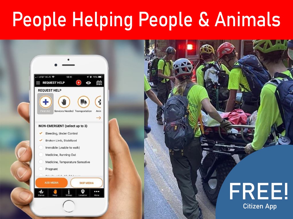
When a field team loses cellular coverage, ATAK can still support local positioning and preloaded maps, but shared awareness requires a separate data path. This guide explains how to use ATAK without cell service by preparing offline data, selecting a tested transport, and rehearsing failure procedures.
Field Guide to Operating ATAK Off-Grid
How to use ATAK without cell service starts with a simple distinction: GPS and data transport are different capabilities. A phone or tablet can calculate its position from satellite signals without a cell tower. It cannot automatically send that position to teammates because GPS is working. Shared awareness requires a local radio link, mesh network, MANET, satellite path, private network, or another supported transport.
This guide is for emergency managers, CERT leaders, search teams, nonprofit responders, and community safety organizations preparing for degraded communications. ATAK editions, hardware, plugins, frequencies, and security settings vary. Confirm the exact configuration with your communications lead before relying on it during an incident.
How to Use ATAK Without Cell Service in the Field
Answer: ATAK may continue to display a user’s location and preloaded map data without cellular service, but team-wide sharing requires a separate transport. Prepare maps and data before deployment. Then test the complete path for location updates, markers, messages, and reports with the equipment used in the field.
GPS positioning uses signals from navigation satellites, not a cellular data connection. NASA explains how GPS receivers use satellite signals to determine location. Local location display is possible in a coverage gap when the device has power, a usable view of the sky, and the necessary software and map data.
Offline operation has limits. A preloaded map can show terrain and roads, but it may not contain current closures, hazards, team markers, or new reports. A device can record information locally. Teammates will not see it until a supported connection transfers the data.
Define the minimum information needed for the mission. One team may need positions, points of interest, and short messages. Another may need routes, photographs, sensor reports, or incident overlays. The more data a workflow requires, the more carefully the team must plan transport capacity, battery use, and fallback procedures. For a community-facing handoff, review PubSafe’s incident reporting workflow and decide which field information needs review before broader sharing.
How to Use ATAK Without Cell Service When a Link Fails
Answer: Treat an unavailable cell connection as a transport failure, not proof that the entire ATAK workflow has stopped. Keep local map and position functions available. Switch to the approved backup path, mark delayed data, and use an authorized procedure for urgent instructions that cannot wait for digital delivery.
A resilient plan separates four functions: knowing where a device is, viewing the operational map, exchanging data, and making decisions. The first two may continue locally. The third depends on transport. The fourth depends on people, roles, and procedures. This separation helps a team diagnose the problem instead of declaring the whole system unusable.
When the primary path fails, the team should know who declares the degradation and which backup is authorized. Users also need a way to identify stale information. A status such as current, delayed, or unverified can prevent an old marker from being treated as a live position.
Keep a manual fallback available. Voice radio, runners, dispatch procedures, and established incident command processes can carry urgent information while the digital path is repaired. The fallback is part of responsible operations because terrain, power, equipment, permissions, and interference can affect any network.
PubSafe’s resource on a common operating picture can help leaders define what information must be current, who owns it, and which audience should receive it.
Choose an Off-Grid Transport for ATAK Data
The transport layer moves operational data between ATAK devices. Choose it based on distance, terrain, team size, power, regulatory requirements, and the information that must be exchanged. A solution that works for a short exercise may not work across a large incident area.
Local radio links can connect nearby users with compatible equipment and a defined procedure. Radio-linked data may support short messages or position reports. Exact integration depends on the radio, gateway, plugin, configuration, and supported message types. Do not assume that a voice radio can carry ATAK data without an approved interface.
Mesh networks use participating nodes to extend communication beyond a direct device-to-device link. Performance depends on node placement, antenna position, spectrum conditions, battery capacity, and traffic volume. A mesh is not automatically a high-bandwidth replacement for the internet.
MANETs are mobile ad-hoc networks in which nodes can connect and change paths as users move. This can suit a field team spread across an incident area. It also creates a testing obligation. The network may behave differently when a node moves behind a ridge, enters a structure, loses power, or becomes overloaded.
Satellite or private connectivity can provide another path when a local network cannot cover the whole area. These options may have higher equipment, power, latency, or subscription requirements. Use them as part of a layered plan.
For equipment such as goTenna, LoRa, or Meshtastic, verify compatibility with the exact ATAK edition, plugin, firmware, hardware, and message format. Compatibility is an integration result, not a product label. Confirm frequency, licensing, encryption, and agency policy requirements before deployment.
| Transport. | Best fit. | Test. |
|---|---|---|
| Local radio. | Nearby exchange. | Pairing, range, and message support. |
| Mesh. | Relay coverage. | Node loss, terrain, and power. |
| MANET. | Mobile paths. | Handoff, delay, and topology changes. |
| Satellite or private link. | Wide-area backup. | Power, latency, and access. |
How Do Mesh and MANET Connect ATAK Teams?
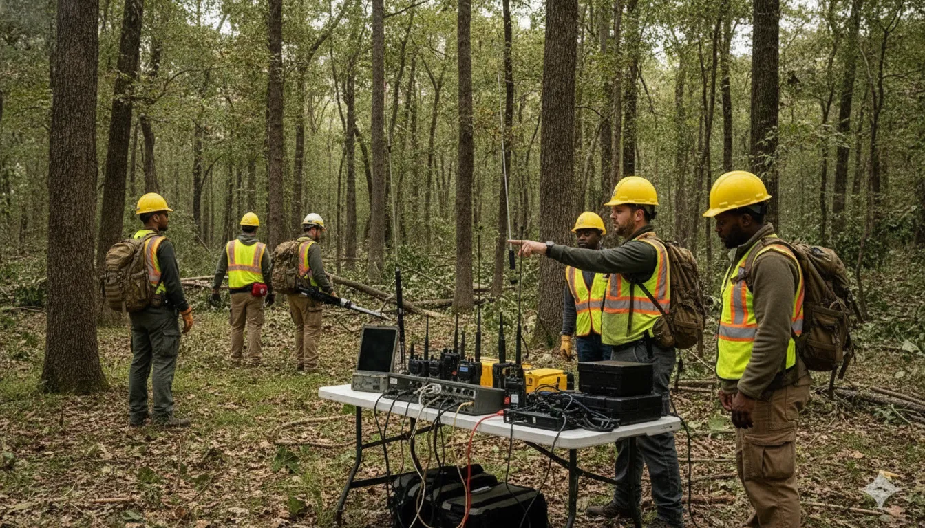
Answer: Mesh and MANET systems can connect ATAK users by forwarding data through participating nodes instead of relying on a cell tower. The route may change as people move. Configure identities and permissions, validate the message path, limit unnecessary traffic, and rehearse what happens when a relay disappears.
Map the path between field endpoints
Start with the phones or tablets used by team members. Identify every intermediary node, radio, gateway, relay, or server between those devices. Draw the path in plain language. A field marker may travel from an ATAK device to a paired radio, across a relay, through a gateway, and then to another user’s device.
This exercise reveals where a failure can occur. A device may show its own position but have no route to the rest of the team. A relay may be powered but placed where terrain blocks the signal. A gateway may pass one message type but reject another. Test each hop independently, then test the complete path.
Use relays carefully and limit traffic
Every relay adds capability and another dependency. Document its location, power source, operator, and recovery plan. If a node is mobile, define who moves it and how the team knows that the network topology has changed.
Use approved identities, consistent naming, and concise messages. Avoid sending large files when a short report or coordinate will support the decision. A low-bandwidth network is more useful when critical traffic is easy to recognize.
Define data ownership
Decide which role owns each shared marker, report, and status update. A transport can deliver data correctly while the team lacks a process for checking it. Record whether a marker is confirmed, reported, or awaiting review. This matters when an offline device reconnects and sends a backlog of updates created at different times.
Prepare Offline Maps and Devices Before Deployment
Offline preparation is the difference between a planned capability and an optimistic assumption. Build the package before the incident, while the team has reliable connectivity and time to correct mistakes. Store only the areas and data layers the mission needs. Confirm that each device can use them without reaching an external service.
Load the area the team may actually need
Define the operational boundary with room for route changes and evacuation. Load base maps, elevation or terrain layers, boundaries, facilities, hazards, staging areas, and approved reference data. Check the map date and source. An offline map will not automatically reflect a road closure or a newly reported hazard.
Test map behavior with cellular data and Wi-Fi disabled. Pan across the operating area, zoom through the levels the team will use, and search for key locations. If a layer depends on an online service, label that limitation in the field plan.
Check access, storage, and power
Charge devices and spares, inspect cables, confirm time settings, and check available storage. Verify each user’s identity, permissions, map package, plugin version, and configuration. Record the approved build so a last-minute update does not create an untested variation.
Protect sensitive operational information. Use approved security settings and retention rules. Do not place restricted data on a personal device or unapproved service because the normal network is unavailable. Offline does not mean risk-free.
Include a community handoff where appropriate. PubSafe’s disaster response platform and volunteer management tools for nonprofits and CERT teams address coordination needs outside a tactical network. Decide whether a report becomes an internal task, a verified public update, or both.
What Should You Test Before Going Off-Grid?
Answer: Test the complete operational chain, not just whether ATAK opens. Confirm local positioning, offline maps, power, identities, transport, marker and message delivery, report handling, relay behavior, and recovery after a link fails. Repeat the test with the same people, hardware, software, and terrain planned for the incident.
- Confirm the mission boundary. Check that the offline map package covers the area, route changes, staging points, and fallback locations.
- Test each device. Restart phones and tablets. Verify storage, battery plans, maps, and plugins.
- Test local functions. With external connectivity disabled, verify position display, map movement, route planning, markers, and local data capture.
- Test the transport path. Send an approved message and position update through the planned radio, mesh, MANET, or satellite path. Record delivery time and missing fields.
- Test failure conditions. Remove a relay, move a user beyond direct range, restart a device, and create a temporary coverage gap.
- Test the human procedure. Ask users to report a simulated hazard, acknowledge a task, and explain what to do if the shared view becomes stale.
- Record the result. Keep the tested build, map date, transport settings, known limits, and fallback method in the field plan.
During the test, distinguish a software problem from a procedure problem. A marker that does not arrive may reflect a blocked route, disabled permission, unsupported message type, depleted relay, or unclear user step. The fix depends on the cause.
Keep voice radio, dispatch procedures, incident command, and public warning processes available. ATAK can strengthen situational awareness. It should not become the only way people receive an urgent instruction. A resilient operation has a primary path, a secondary path, and a clear method for declaring that the shared digital view is no longer current.
How Can ATAK and Community Coordination Work Together?
Answer: ATAK can provide a professional field team’s tactical or operational view. A community coordination platform can support communication among citizens, volunteers, NGOs, and response organizations. Treat the systems as complementary. Define what information crosses between them, who approves it, and how the public-facing workflow remains useful when tactical connectivity is limited.
Field teams often need detailed location data, short operational messages, and controlled sharing. Community organizations may need volunteer status, incident reports, public updates, and coordination for people outside the tactical network. These needs are related, but they are not identical.
PubSafe’s public safety map can serve as a reference point for the community-facing side of a response plan. Its emergency management platform provides additional operational context for formal response structures. Use the right system for the right audience instead of forcing every participant into a tactical workflow.
Decide whether a field report becomes a public update, an internal task, or both. Decide who checks an unverified citizen report. Decide how volunteers are informed if the tactical network is down. These decisions are as important as selecting the radio or plugin.
PubSafe’s overview of how the platform works can help teams frame that handoff. The volunteer coordination guidance can also help when people support an incident without joining the tactical network.
Frequently Asked Questions
How do you communicate without internet or cell service?
Use a prepared local or beyond-local transport such as compatible radio, mesh, MANET, satellite, or peer-to-peer networking. Preload maps and data, verify identities and permissions, and rehearse the message path. Keep voice procedures available because every transport has range, power, and coverage limits.
Does ATAK work with Meshtastic?
It can in some deployments through a compatible integration, plugin, device, and transport configuration. Compatibility is not automatic. Verify the exact ATAK edition, plugin, firmware, hardware, message types, and relay behavior. Test delivery and delays in the intended terrain.
How do you use ATAK offline?
Install and verify required maps and data before leaving coverage. Disable cellular data and Wi-Fi during a rehearsal. Confirm local positioning, map access, marker creation, and report capture. Configure a separate transport to share updates. Offline maps alone do not create a shared team view.
Is ATAK free to use?
There is no single answer for every ATAK deployment. Edition, licensing, distribution, plugins, hardware, support, and connected transport can vary by agency, mission, and supplier. Confirm the applicable terms with your organization.
Build a Resilient Off-Grid Communications Plan
ATAK is most useful when it is one tested layer in a larger response system. Pair offline maps and a verified transport with clear roles, disciplined data sharing, and fallback communications. If your organization is evaluating community-facing coordination, Contact PubSafe to discuss the workflow. Validate the complete setup before relying on it.