
Flood Response
Weather Critical Response
When time counts, PubSafe Location & Data Sharing Can Save Lives
Flood Rescue and Relief
The number of floods from severe weather events has been consistent for decades. From Hurricane Katrina to regional summer storm fronts; flooding is a common life-threatening situation. Most of the time government is able to handle the volume of rescues and help requests. When the government gets overwhelmed, citizen organizations such as the United Cajun Navy step up to provide short-term rescue support.
“Knowing the exact location of a victim is critical to a rapid and safe rescue. The PubSafe apps enables any citizen to easily share their location and request rescue.”


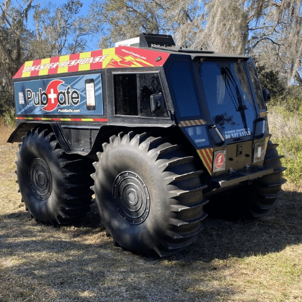
Sherp ATV Food Rescue
Unique Challenges In Flood Rescue
Flood rescue and recovery are unique in many ways. The risk to all parties involved is extremely high. A routine flood rescue can go bad quickly due to electricity, panic, animals, health issues and mechanical breakdown. Anyone involved in weather related rescues needs to work as part of a team, coordinate with others in the area and train if possible.
PubSafe Flood Related Features
- Exact victim location is most important
- Last known location in case communication is lost
- Alert to other nearby PubSafe users
- Share sitreps to let EOC know the severity of the situation
- Share video and images on the map to share situation
Helicopter Flood Rescue
Helicopter rescue is one of the quickest and most effective means of rescue in a flood. The cost per hour to fly a helicopter starts at $10,000! The flight time to and from a flooded region and the loitering time searching for victims are two expensive and time consuming aspects of helicopter rescues.
PubSafe offers several major benefits for helicopter issue which can reduce the cost of operation and the number of success flood, wildfire or other rescues. The primary feature is simply getting an exact location of the victim. Streets, homes or buildings may be gone so there are few visual landmarks to use to enable the pilot to fly directly to a victim. This leads to searching an area which wastes fuel and reduces the number of rescues that can be performed. With PubSafe a pilot can look at this phone and fly directly to a help request within a few meters using the phones GPS tracking functionality. PubSafe also enables users to provide critical information a rescue team will need to respond effectively.
