Telematics Improves Logistics During SAR
There are many methods and technologies used in the search and rescue process. Telematics is a general term for vehicle location and data. Telematics data is often used in fleets for normal operations. The same benefits found outside of disasters also apply to disaster time but with bigger consequences.
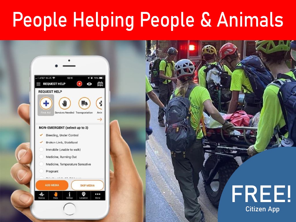
Thank you for reading this post, don't forget to install the free PubSafe mobile app and subscribe!
GPS Tracking
GPS vehicle tracking is the most important aspect of fleet telematics. Constant awareness of vehicle and asset location is critical to making rapid, efficient and good decisions which will result in lives and property saved. Perhaps the most frequent question asked in search and rescue operations is “do we have someone in that area?” or “who is in that area?” The process of answering that question may be easy if the lead agency is utilizing fleet tracking and asset tracking in localized events. However, when a large-scale disaster takes place and many agencies are involved, knowing the location of all parties for a temporary event is a challenge.
How GPS Tracking Improves Emergency Response Efficiency
GPS tracking plays a critical role in modern emergency response by providing real-time visibility into the location and movement of responders, volunteers, and resources. Within the PubSafe app, telematics capabilities allow organizations to monitor activity across teams, ensuring that help is deployed quickly and efficiently where it is needed most.
One of the key advantages of GPS tracking is improved situational awareness. Coordinators can see exactly where team members are located, identify nearby resources, and make informed decisions based on real-time data. This reduces response delays and ensures that assistance reaches affected areas as quickly as possible.
In addition to improving speed, GPS tracking enhances coordination. Teams can be directed to specific locations with greater accuracy, minimizing confusion and overlap. This is especially important during large-scale emergencies where multiple responders and organizations are working simultaneously.
The PubSafe platform also supports better safety for responders. By tracking locations in real time, coordinators can ensure that team members are operating within safe zones and can quickly identify if someone needs assistance. This adds an extra layer of protection for those working in high-risk environments.
Ultimately, integrating GPS tracking into emergency response workflows leads to faster decisions, better coordination, and more effective outcomes. With real-time location data, organizations can optimize resource deployment and provide stronger support to communities in need.
Data Integration for Disaster Response
API is a term used to describe the ability to move data between databases using industry standard methodologies. Bring data together in advance of a disaster is challenging for a variety of reasons from security, to technical. APIs help overcome these obstacles but integrations do not happen instantly. If there is lead time for a disaster there is a better chance of integration taking place. In situations such as an earthquake the agencies involved in the response are not known until they are called to respond. This disjointed environment makes it challenging to provide emergency managers the visual situational awareness typically provided by telematics during normal business operations.
PubSafe Mobile App Bridges The Gaps
A mobile app provides a platform that anyone can join with just a few minutes and on a temporary basis. Users can join and unjoin a disaster response effort and establish the visibility critical to the EOC leadership team. PubSafe goes beyond simple location as a purpose build platform to bring citizens, NGOs, government and corporations together. App features facilitate information sharing and encourage every user to contribute to the data pool. Mobile app data can be combined with GPS vehicle tracking using APIs when practical to bring many diverse organizations together for a period of time.